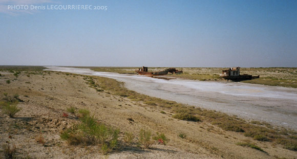
Bilder aus KasachstanEine deutliche kasachischen Identität begann unter Turkstämme im 15. Jahrhundert entstehen. Ein großer Teil des Landes ist durch flache semi-ariden Steppen besetzt. In den 1960er Jahren plante die Sowjets eine umfangreiche Baumwolle Landwirtschaft. Für die Zwecke der Bewässerung, umgeleitet sie Flüsse bis zum Aralsee, die Schaffung eines der größten Umweltkatastrophe. Der Aralsee schrumpft, und die Fischerstadt Aralsk sah seinen Hafen völlig austrocknen. |
|
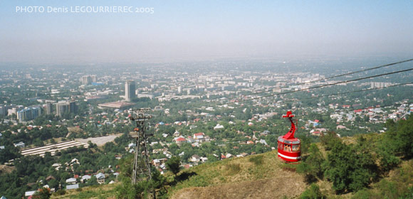
Almaty : Köktyube cable car and view on the city
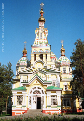
Almaty : the russian orthodox Zenkov Cathedral in Pankilov park
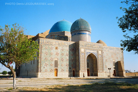
Turkistan : Khoja Ahmed Yasawi Mausoleum
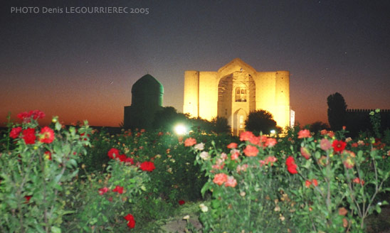
Turkistan: the Mausoleum of Khoja Ahmed Yasawi (Қожа Ахмет Яссауи) at night
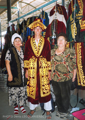
Turkistan : trying on some traditional Kazakh clothes
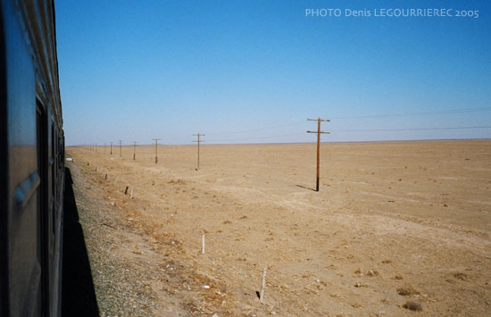
Arid steppe between Turkistan and Aralsk (from the train)
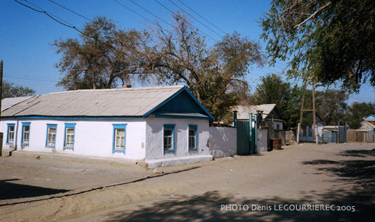
Street of Aralsk town
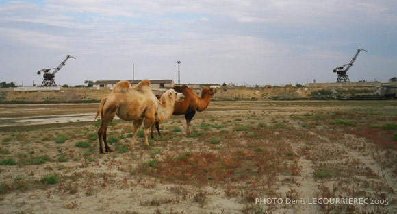
Cranes of Aralsk harbour and camels where the sea used to be
follow the salt deposit for 30 km and you'll reach the Aral sea
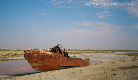
Rusting boat on the former seabed
|
Kazakhstan was part of the 2005 trip
|
to : Russia  from : Kyrgyzstan
|


