Photos du XinjiangLe Xinjiang est la province la plus occidentale de la Chine et signifie littéralement 'nouvelle frontière', nom donné au cours de la dynastie des Qing. Y vivent différentes ethnies, dont les Ouïgours. Parce que ceux-ci parlent une langue d'origine turque, la région est également connue sous le nom du Turkistan chinois ou Turkestan de l'Est (par rapport aux autres nations turques). Une grande partie du Xinjiang est occupée par le désert du Taklamakan, qui est entouré de villes-oasis comme Koutcha, Tourfan, Kachgar. Ces villes et les champs autour tirent leur eau des chaînes montagneuses telles que le Pamir et les monts du Tianshan. |
|
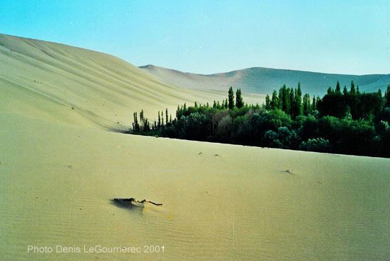
Dunhuang : sand-dune on the fringes of the oasis
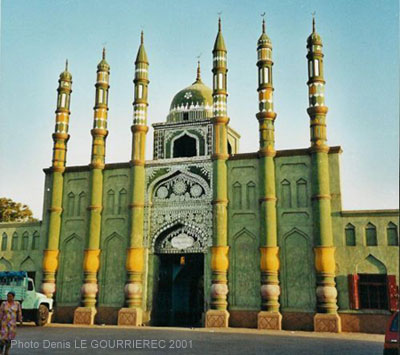
Mosque in Turpan : the historical capital of the Uyghurs
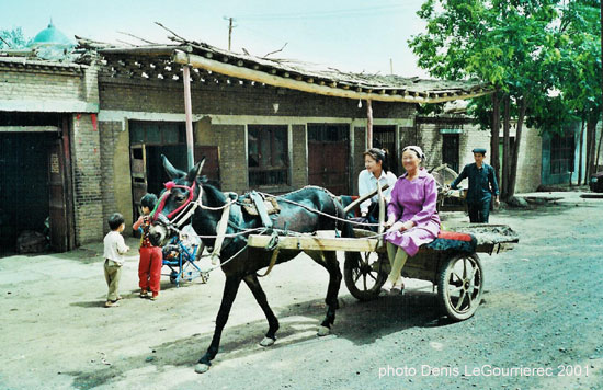
Turpan : street life
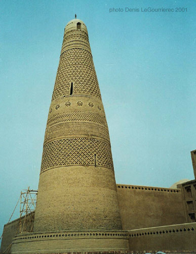
The afghan style minaret near Turpan
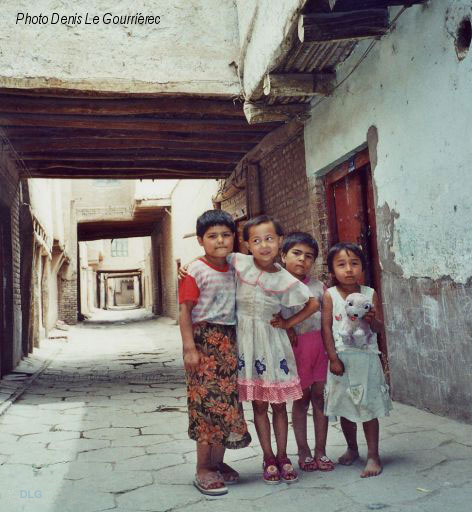
Uyghur kids in the old traditional part of Kashgar
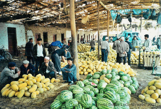
Melons and pasteques at the market in Kashgar
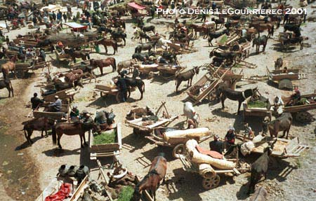
Market day in Kashgar : the "parking lot"
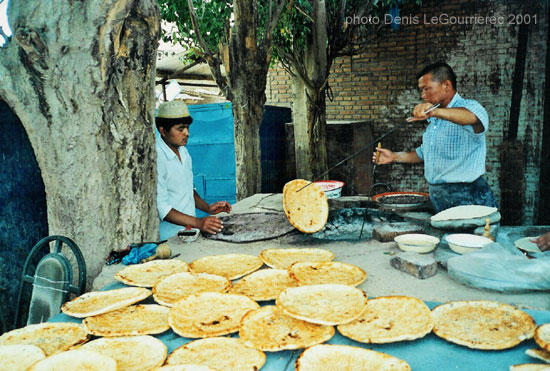
Making of nan-bread
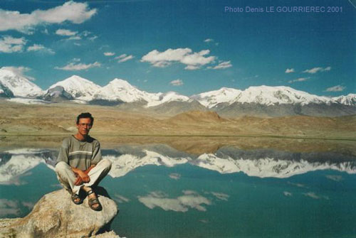
Karakul Lake (alt. 3600 m) in the Pamir (my favorite view of the whole trip)
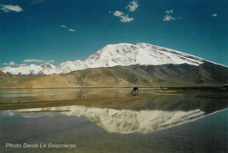
The Mustagata mountain reflecting in Karakul lake
|
Xinjiang was part of the 2000-2001 trip
|
 to : Pakistan from : Tibetan regions
|


