Photos from XinjiangXinjiang is the most westerly province of China and literally means 'New Frontier', a name given during the Qing Dynasty. It is home to a number of different ethnic groups, including the Uyghur. Because the Uyghur speak a turkic language, the region is also known as Chinese- or East-Turkestan (East, compared to other Turkic nations). A large part of Xinjiang is occupied by the Taklamakan desert, surrounded by oasis towns like Kutcha, Turpan, Kashgar. These cities and the fields around get their water from the nearby mountains ranges (for example the Pamir and the Tianshan mountains). |
|
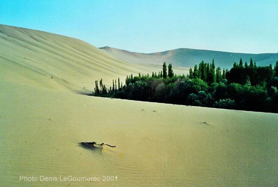
Dunhuang : sand-dune on the fringes of the oasis
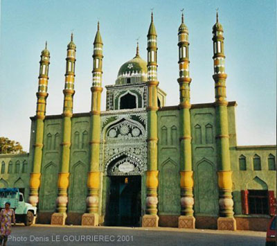
Mosque in Turpan : the historical capital of the Uyghurs
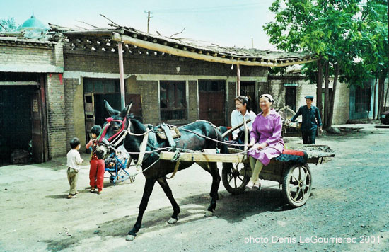
Turpan : street life
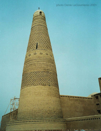
The afghan style minaret near Turpan
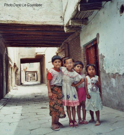
Uyghur kids in the old traditional part of Kashgar
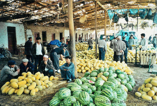
Melons and pasteques at the market in Kashgar
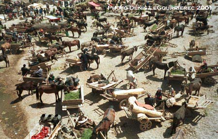
Market day in Kashgar : the "parking lot"
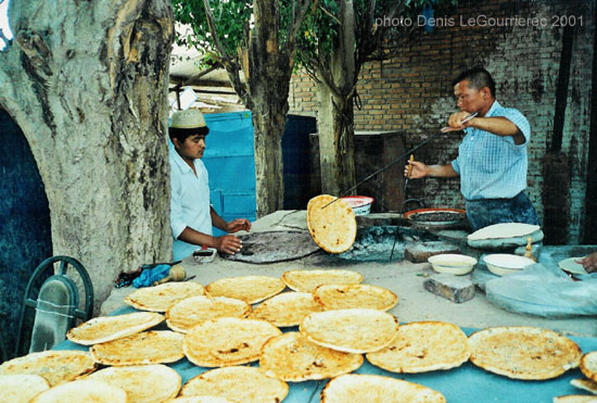
Making of nan-bread
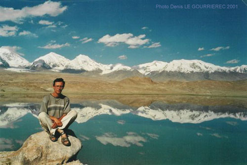
Karakul Lake (alt. 3600 m) in the Pamir (my favorite view of the whole trip)
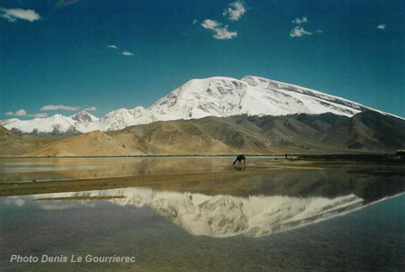
The Mustagata mountain reflecting in Karakul lake
|
Xinjiang was part of the 2000-2001 trip
|
 to : Pakistan from : Tibetan regions
|


