Bilder von XinjiangXinjiang ist die westlichste Provinz von China und bedeutet wörtlich 'neue Grenze', ein Name, während der Qing-Dynastie gegeben. Es ist die Heimat einer Reihe von verschiedenen ethnischen Gruppen, einschließlich der Uiguren. Weil die Uiguren sprechen eine Turkische Sprache, ist die Region auch als Chinesisch-oder Ost-Turkestan bekannt (Ost, im Vergleich zu anderen türkischen Völkern). Ein großer Teil von Xinjiang wird durch die Taklamakan-Wüste besetzt, die von Oase-Städten wie Kutcha, Turpan, Kashgar umgeben ist. Diese Städte und die Felder erhalten ihr Wasser aus den nahen Bergen Bereiche (zum Beispiel die Pamir und des Tianshan-Gebirges). |
|
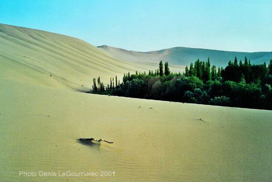
Dunhuang : sand-dune on the fringes of the oasis
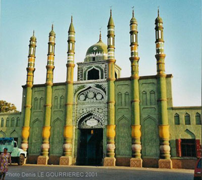
Mosque in Turpan : the historical capital of the Uyghurs
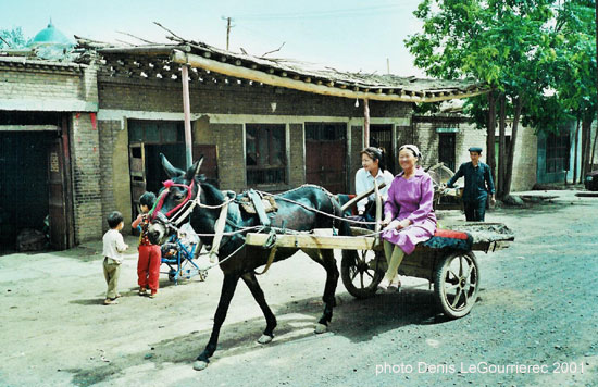
Turpan : street life
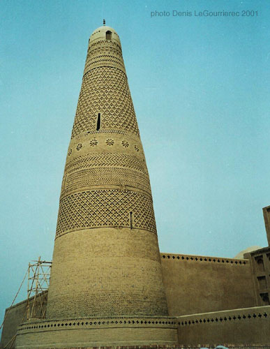
The afghan style minaret near Turpan
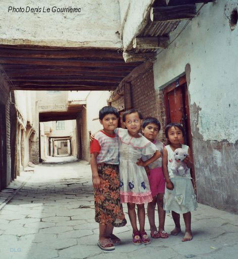
Uyghur kids in the old traditional part of Kashgar
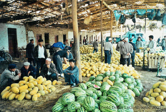
Melons and pasteques at the market in Kashgar
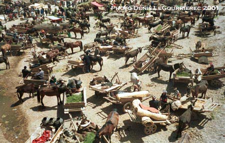
Market day in Kashgar : the "parking lot"
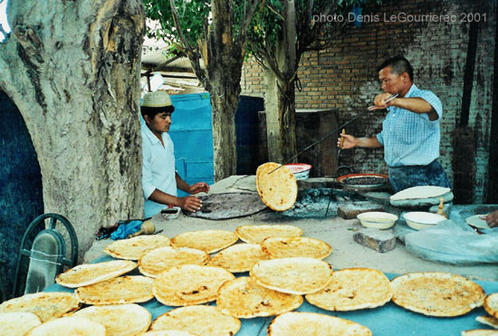
Making of nan-bread
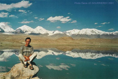
Karakul Lake (alt. 3600 m) in the Pamir (my favorite view of the whole trip)
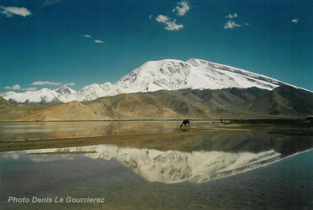
The Mustagata mountain reflecting in Karakul lake
|
Xinjiang was part of the 2000-2001 trip
|
 to : Pakistan from : Tibetan regions
|


