Fotos de XinjiangXinjiang es la provincia más occidental de China y significa literalmente 'nueva frontera', nombre dado durante la dinastía Qing. Es el hogar de un número de diferentes grupos étnicos, incluidos los uigures. Debido a que el uigures hablan una lengua turca, la región también se conoce como el Turquestán chino o el Turquestán del Este (este, en comparación con otras naciones turcas). Una gran parte de Xinjiang está ocupada por el desierto de Taklamakan, el cual está rodeado por pueblos-oasis como kutcha, Turpan, Kashgar. Estas ciudades y los campos obtener el agua de los rangos de las montañas cercanas (por ejemplo, el Pamir y las montañas Tianshan). |
|
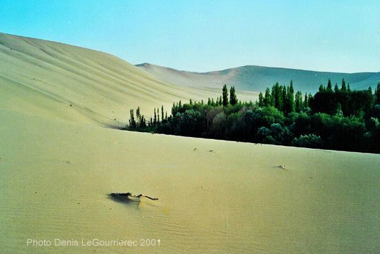
Dunhuang : sand-dune on the fringes of the oasis
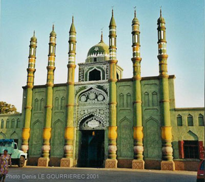
Mosque in Turpan : the historical capital of the Uyghurs
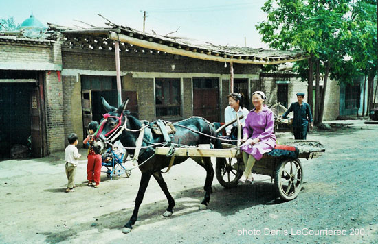
Turpan : street life
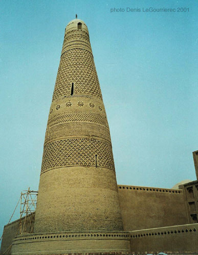
The afghan style minaret near Turpan
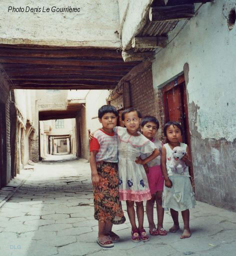
Uyghur kids in the old traditional part of Kashgar
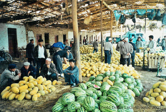
Melons and pasteques at the market in Kashgar
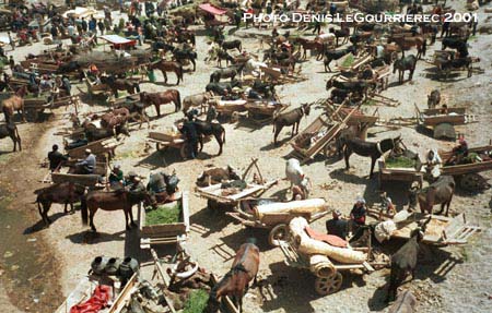
Market day in Kashgar : the "parking lot"
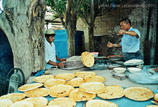
Making of nan-bread
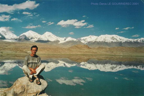
Karakul Lake (alt. 3600 m) in the Pamir (my favorite view of the whole trip)
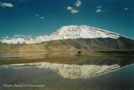
The Mustagata mountain reflecting in Karakul lake
|
Xinjiang was part of the 2000-2001 trip
|
 to : Pakistan from : Tibetan regions
|


